29. Juli 2016
From Stockholm to Oslo by Bike
 Bike touring, wild camping, ferry rides, sun bathing, bike packing, and more. A recount of a loosely planned bicycle trip that brought me another time across Sweden, and this time also a tiny bit of Norway.
The plan is simple. Well, at least originally. Cycle from Stockholm to Oslo. Of course, in reality, things become a bit more complicated and hence also more adventurous. Here, I am going to explain how so and hopefully provide some insights and inspiration to you.
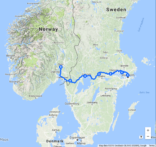
I have done it a few years before. Not quite the same trip, because at that time I started in Kungshamn on the Swedish west coast and cycled across Sweden to Stockholm (post). Instead, for practical reasons, this time, I started in Stockholm and finished in Oslo. Below, you see the route I chose. Or more accurately, I should say the route that I ended up taking.
Preparation
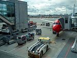
Preparation is key. Which I learnt again at London Gatwick Airport. I was happy not to go to London Heathrow even though I had previously made good experience at Heathrow with British Airways which accepted my mountain bike without modifications or a case for packing. Yet, there did not seem to be any other legal way to transport a bike to Heathrow than taking a spacious taxi or car. So Gatwick it was. I had checked the conditions for transporting bicycles with Norwegian, and at the time of writing they state
We strongly recommend always packing these items in a hard or padded case to avoid any potential damage.
I thought that I ignore the recommendation and just rely on my bike being sufficiently robust to survive the trip. But I did not expect Norwegian staff at the airport to interpret the recommendation as a requirement, and I am told at the airport that I could not bring my bike without a case. Several fruitless calls, discussions and claims for irresponsibility, I am forced to drop my bike at left luggage. And board the plane without a quite essential piece of equipment for a bicycle trip.
What an experience in stark contrast to Lufthansa, which offers the best service for bikes ever: at the time of writing, they explicitly state that you don’t have to pack your bike, and the time I took my bike with Lufthansa, they told me that there was a bicycle rack in the plane. Deflate the tires and that’s it. So simple.
So far, so bad. I will spend a week at Herräng in Sweden prior to starting my bicycle trip. So, in the second week, I have the options to go hiking instead, canoeing, island-hopping, or whatever else there is. However, I find a nearby bicycle shop when riding a bus in the Stockholm area. Given that I lack a bicycle at my parents’ place, I decide that it is now the time to invest into a second bike, despite of the awful exchange rate as a result of the Brexit fallout.
Fortunately, a friend working at Gatwick Airport is able to collect my bicycle from left luggage before the bill sky-rockets to ridiculous amounts. And fortunately, I am able to acquire a KLICKfix handlebar bracket so to fit my handlebar bag on the new bike as well. Good fortune after bad luck (or more likely, too little preparation).
Day 1 – Stockholm to Krägga
The adventure begins on a Monday afternoon, technically not in Stockholm, but in a town north of Stockholm. It starts raining. But that won’t affect my spirits, and I slowly make my way north on paths and roads I memorized from a recommendation by a good friend in Stockholm.
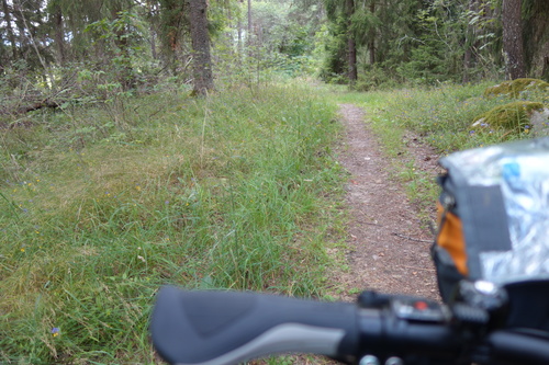
It is amazing. I knew that before. Not far away from Stockholm, I am in the country side on small roads and gravel paths. Far from my destination. As I do not have a map for the first few dozen kilometers, I am relying on memory and the occasional look at my mobile. I need to save battery though because I am likely to need it when coming closer to Oslo.
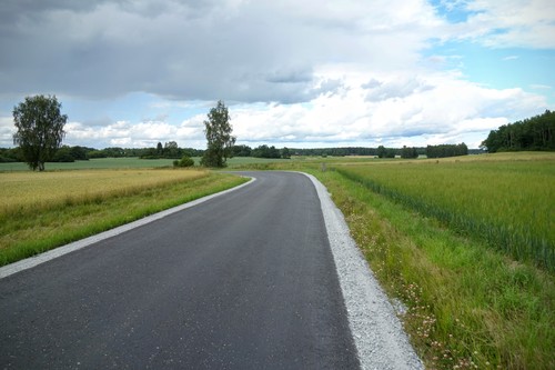
It turns out to be a great idea to start the trip with only half (or less) day of cycling. I was cycling only twice in 2016, and I am no longer used to sit on a saddle, particularly not on the saddle of a new, untested bike.
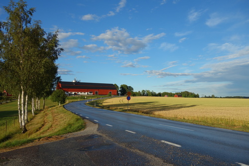
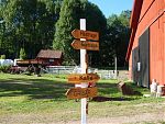
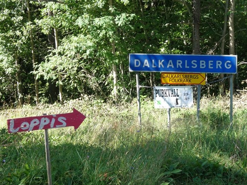
I enjoy the scenery, and I am excited by the familiar signs. There are three kinds of signs that you frequently encounter in the country side in Sweden. Blue village signs, signs advertising “Loppis” (sale of second hand stuff), and signs telling traffic participants “kör sakta, lekande barn” (drive slowly, children playing).
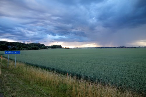
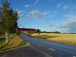
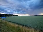
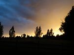
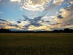
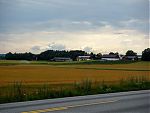
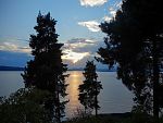
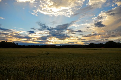
The sky and the landscape feature strong colors, particularly in the evening sun, which lingers on the horizon for ages. The long days in July allow me to cycle until 10pm and longer.
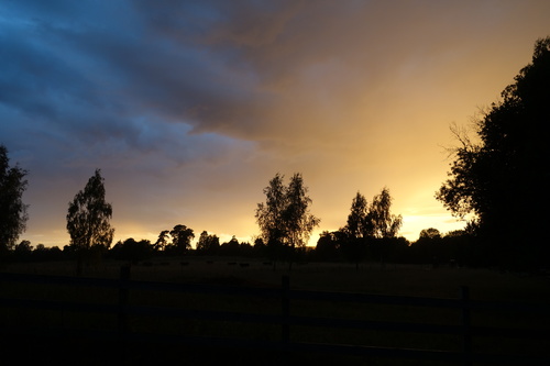
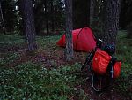
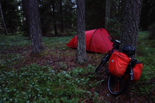
It is highly recommendable to put up your tent in a way that it will be protected from the rising sun. The nights are short. While I prefer sites with access and view over water, I put my tent into the forest for the first night. Finding suitable tent sites is easy. Finding excellent tent sites is more difficult. However, today, and in the days to come, I prefer to enjoy most of the day on and off my bike, and put less efforts into finding the best spot for my tent.
Day 2 – Krägga to Strömsholm
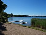
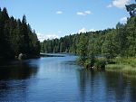
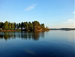
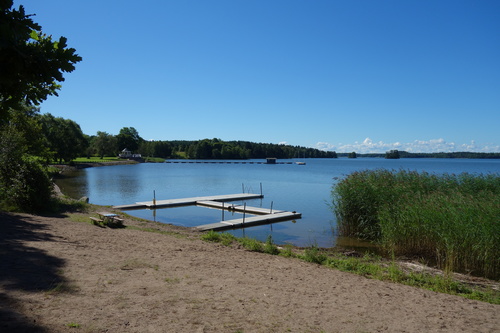
When wild camping, the one thing I miss quite quickly is a shower. Fortunately, Sweden has a lot of lakes. This morning, I take a bath in Mälaren, Sweden’s third-largest fresh-water lake.
On the previous day and today, I mostly follow the bicycle path (Sverigeleden / Mälardalsleden) marked on my maps (Cykelkartan) even though I sometimes take shortcuts as these bicycle paths optimize for the most idyllic routes and I have to compromise between idyllic routes and making progress towards my destination.
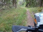
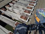
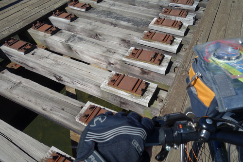
Sometimes, these bicycle routes take me on roads with less traffic, connecting villages in the country side. Sometimes, they take me on single trails that are only suitable for robust mountain bikes. I like the variety. Particularly interesting is an abandoned railway track between Krägga and Ekolsund, which is now a path for cyclists and pedestrians. The bridge is a bit dangerous, particularly for children and because fishermen block the planks on the side, I am forced to walk on the railway sleeper at times.
At Hjälsta, I decide to take a shortcut and temporarily leave the marked bicycle route. Later I turn south towards Enköping because my water reserves are getting low and it is really warm. I usually avoid towns as much as I can because they are more difficult to navigate with a coarse map, a compass, and the relatively rare signs marking the bicycle route.
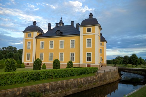
I move on to Västerås where it is time to buy food for the night. I help out two urban cyclists with a flat tire (at least I get to use my pump) before zooming west towards Köping. For some reason, I get a lot of energy towards the end of the day, maybe because it is getting cooler and I know that I get to rest after the efforts. I pass Strömsholm, which has been a center for horse riding for centuries.
I continue to cycle through the country side for a bit during sunset. I meet a cow walking on a country road. I decide to notify someone at the next farm I passed, but nobody is home, so I continue and leave it up to the cow to either walk back or expand her horizon. Now it is time for finding a spot for my tent again.
Day 3 – Strömsholm to Fogdhyttan
At breakfast on the roadside, I see a few mountain bikers zooming past. They do not have any baggage. Apart from them, I do not see many bicyclist. It feels like the bicycle routes have been set up specifically for me. I am honored.
I drive through Köping, and I notice that I am very tired. Hard time to keep awake on the bike. In my unwillingless to take a nap, I decide to check in at the local Pizza & Kebap place and have a cup of coffee. Mistake. They have some badly tasting filter coffee, but at least it does the job. With better preparation, I might have marked both supermarkets and cafés on the map before starting the trip.
Before I left, I made a coarse plan on the map on how to cycle to Oslo. I would pass Mälaren in the north (I already did the southern route before), cycle around Vänern in the north (I already did the southern route, it would have added a lot to the overall distance), but left it open on how to finally get to Oslo.

Every day, the choice of route is open. I know that I want to go towards Karlstad eventually. I find Lindesberg on the map, which is easy to reach via bicycle-friendly roads. I turn north to Sundänge at the Västlandasjön. There is some algae or similar in the lake, so I don’t go swimming. Instead, I get another badly tasting cup of filter coffee. Mistakes were made.

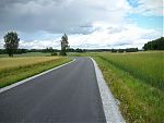
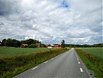
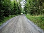
On excellent, wide roads I cycle westwards. The roads in Sweden – as long as they are not primary roads – are really suitable for cycling. They are wide, there is little traffic, and they are usually well-maintained. What a pleasure.
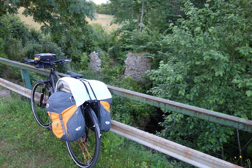
After Lindesberg where I buy food for the night and the next morning, I get deeper and deeper into Bergslagen, a mining district. The village names tell the story. It is getting noticeably more hilly. A small gravel road brings me to the next tent site, again in the forest.
Day 4 – Fogdhyttan to Karlstad
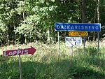
I decide to take a small and what I believe idyllic route to Karlskoga via Dalkarlsberg (notice the almost obligatory Loppis sign).
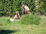
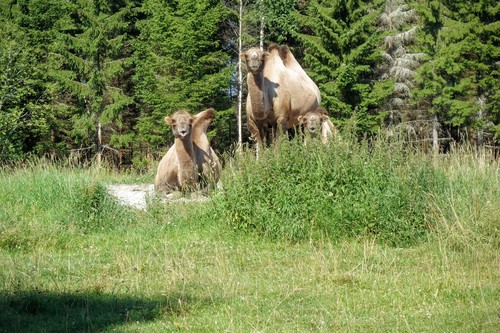
Surprise in the morning: I see three camels chilling out on a patch of sand. Sure, why not.
Unfortunately, I failed to notice when reading the map that the “idyllic” route led through a military firing range. So I turn around at the entrance into the firing range and cycle back for about an hour.
Wer lesen kann ist klar im Vorteil.
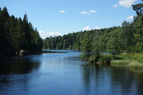
Instead, on the road 243, past the river Svartälven to Karlskoga. Again, it is very warm today, and I need to buy more water (I mostly do even though the further west I get, the more streams there are).
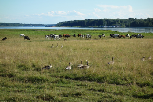
Karlskoga is located at the shore of lake Möckeln, and I take the opportunity to go swimming. Most people prefer to sunbathe and apparently find it too cold in the water but I welcome the refreshing water, and avoid the sun which starts to draw funny patterns on my arms and legs. Given that I mostly go west, the tanning patterns are far from symmetrical.
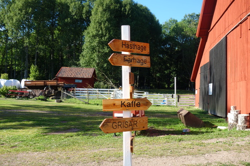
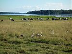
After Kristinehamn, no more camels, but more typical animals. Also, a sign that promises tasty coffee (for pigs, please go into the opposite direction), but then the place has already closed. Even without coffee, I pedal hard on parts of the route of the Vänern Runt, a cycling event that takes participants around Sweden’s largest lake (actually also the largest lake in the EU). Wow, what roads.
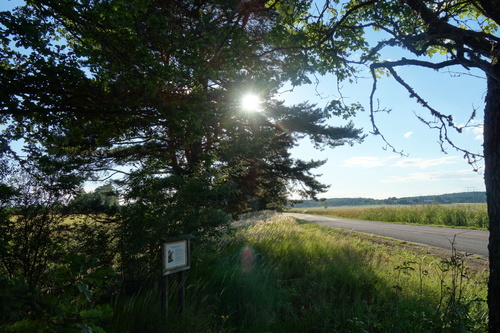
I am very motivated to get to Karlstad quickly, as I have no food left and most supermarkets I have seen so far closed at 9pm, well before it is getting too dark to cycle. I finally make it to Karlstad prior to 9pm but then also find further supermarkets which are open until 11pm. Well, with better preparation, I should have annotated supermarkets and closing times on the map.
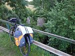
Karlstad looks quite inviting and there are many people in the streets and in the restaurants. However, I do not linger and with some regret move on to put up my tent in the next suitable patch of forest. The Trangia camping cooker I brought this time is just a great thing to have. It is easy to use and some tortellini, meatballs, tomato soup, cheese sauce, or similar is easy to cook and a napkin is sufficient for cleaning.
Day 5 – Karlstad to Nössemark
Since I did not plan the route in much detail in advance, and only checked the distance to Oslo by car, I only have a ballpark estimate of the overall distance by bike. So I look at my progress on the map. I expect the terrain to become hillier and more difficult the closer I get to Norway. I get the feeling that I am using quite some of my time margin (which I have instead of rigid planning in advance). Also, I do not want to rush in Oslo and need to make sure that I do not have to leave my new bike at the airport in Oslo. Hence, I decide to cover a lot of distance today. A bit of a shame, because there are many beautiful lakes and rivers along the route which invite me to take long breaks.
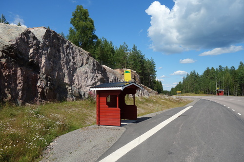
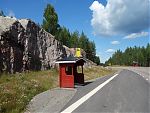
I continue on more fabulous roads. Note how even the remote places have pretty bus stops.
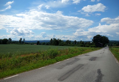
I originally planned to cycle past Långserud because before I started the cycling trip, I asked a Swede from Värmland what not to miss in Värmland, and she referred me to Esters Café in Långserud. Good coffee, finally. But then I am not sure whether there are small roads besides the motorway E18. On hindsight, this is stupid because 1) the map clearly shows that there are small roads, and 2) tractors and similar vehicles would not be forced to use the E18 just to get from one village to another. Instead, I cycle south towards Åmål and then turn west through what I believe will be an idyllic route. This time, I am not denied by a firing range, and get closer to my next intermediate destination – Skåpafors and Bengtsfors, where I buy plenty of supplies as I am uncertain how soon I will find the next time to buy food.
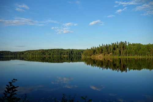
I look at the map and reckon that I can make the last 30 km to Sund / Nössemark at the border to Norway. There is a ferry across a very long lake indicated on the map. If the ferry does not go for any particular reason, I have to add about 70-80 km to my journey, just because the lake is so big.
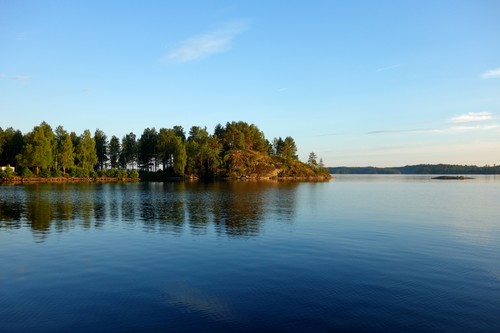
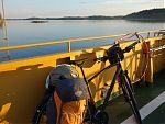
I cycle along the lake Stora Le during sunset, coming past a few promising tent spots. But I decide to checkout the ferry schedule at Sund first. When I arrive at the ferry pier, it is just about to leave so I decide to skip any further research on ferry schedules and hop on the ferry instead. I wonder where to pay but soon find out that it is free.

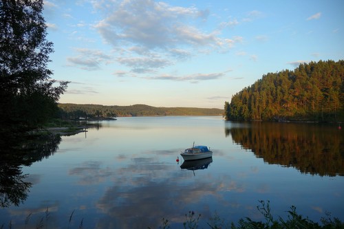
There is fog on the other side of the lake, and there are many fairly wet areas which are unsuitable for putting up a tent. I pass the “civilized” areas of Nössemark and set up camp near the border to Norway. That was faster than imagined.
Day 6 – Nössemark to Oslo
I continue along the only road leading west from Nössemark. I was able to verify the existence of the road on my mobile phone, despite of the map not loading an more details. Also, a ferry does not just go to nowhere. However, I still need to navigate to Oslo with only compass and a mobile with limited reception that I do not want to use (I need the battery to communicate with the friend I wanted to visit in Oslo). I browsed the web for a cycling map of the respective part in Norway but was not able to find one to buy. As a compromise, I might have printed out a coarse screenshot, at the very least.
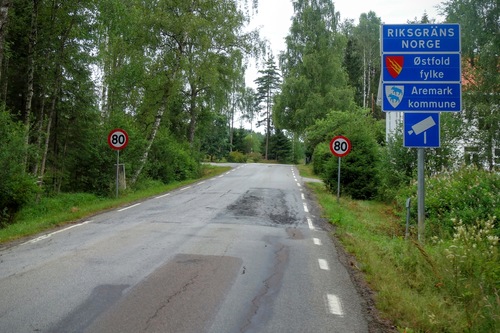
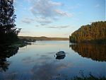
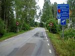
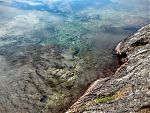
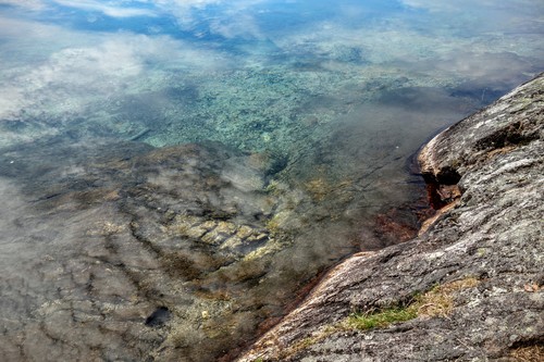
Well, with a decent amount of food, a decent bike, and a decent mood, I cross the border to Norway and decide to go to Halden, the only town that was advertised on the road signs in Sweden. Norway is treating me well from the very beginning, and I find a beautiful lake with very clear water. Shower and breakfast.
Continuing, I get to a T junction. Good question, should I continue to Halden or to a place called Aremark as advertised? Keeping west is the safe option as it will bring me closer to the more populous Skagerrak. But then I see a cyclist having a break and I ask him for recommendations on the best way to get to Oslo, and whether there are obstacles (e.g. roads with too much traffic).
I ask him in Swedish and he answers in what I identify as Swedish with plenty of Norwegian words. So what I read is true, Norwegian and Swedish are mutually intelligible. Fun times ahead. He tells me that the route towards Aremark is more scenic (or hyggelig as he puts it) but tells me that I equally can go to Halden, and then via Skjeberg (I hope that I will be able to match what he said to what is written on the road signs) and Moss to Oslo. Also, he recommends me to go to a cycle shop in Oslo and get a big cardboard box for free, and to make sure I have a plastic dummy for my disk break when removing the wheels. Perfect timing to meet a local expert right across the border.
Given the excellent weather, the fantastic roads, the beautiful landscape, I regret not having more vacation days and explore more of the wilder areas of Norway before heading to Oslo. But then it is time to arrive in Oslo soonish, and I set my mind on heading there today, even though I have only a rough idea of the distance to Oslo. I continue to Halden.
In Halden, by dead reckoning and from cues given to me by the Norwegian cyclist, I move north on the road 22 towards Mysen. When the road turns east however, I leave the 22 and turn into a smaller road, which brings me to a T junction in Skjeberg. It is easy to decide where to go next, because I can only turn south or north on the road 118. It brings me to Sarpsborg, and because it often goes in parallel to the E6 which goes to Oslo, I decide to stay on the 118 for a while.
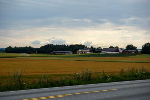
I cycle through Råde, alternately passing Rema 1000 and KIWI minipris supermarkets. At least the problem of supplies is solved. When I arrive in Moss, I see a marked cycle route to Oslo. The problem is just that it is very easy to get lost on these cycling routes, in particular at almost every roundabout, where I go round multiple times and still do not know which exit to take. I get impatient and decide to just follow the compass, stick to roads called Oslovejen, or occasionally ask people (with partially legendary reactions such as: “Oslo??!”).
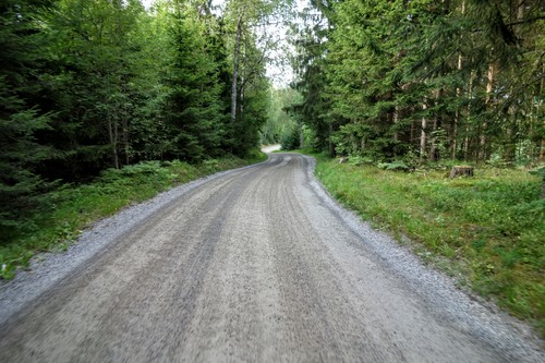
Sooner or later however, I find the cycle route again and stay on it. No roundabouts in the way. There are beautiful lakes begging me to stop. But I have run out of food by now and put my bets on reaching Oslo in the evening. I catch the sunset while entering Oslo.
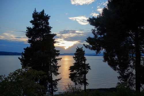
On the way, I meet two locals who point out where the camp site in Oslo is. I knew that there was one because I checked on the map prior to the trip. I did not originally intend to stay at a camping site (pay for not-so-wild camping?), but then for practical reasons and given my late arrival, it is the best option. Finally, I use my mobile phone to navigate through the steep roads that lead up to the camping site on Ekeberg, Oslo. Arrived at 10.30pm in the evening. The pizza & kebap place, which is still open, saves the day.
Return
Thanks to my old and new friends in Oslo, I have an excellent time, and I am in great debt.
Clearly, I do not want to repeat my experience at Gatwick Airport. After researching the costs of a soft-shell bicycle bag (380 GBP) which might not even be large enough to hold my bike, I decide to pursue a significantly cheaper solution.
I go to the very next bicycle shop (Cykleriet) to where I stayed, and ask the guy that I was looking for a cardboard box for putting my bike in such that I can take it on the plane. He gives me the last cardboard box he can spare (according to him, many Germans apparently come by with similar requests…), removes the pedals, and tells me to use a plastic dummy as a placeholder in my disc brake. That’s amazing.
This is the place I would bring my bicycle for service. After all, the guy did not only provide me with a cardboard box, but also makes suggestions on how to solve the underlying problem: how to transport a bike on a plane. I am so grateful and promise to leave an excellent review.

It takes me about three hours to dissassemble and package my bike. I leave Oslo using the cheaper NSB train rather than Flytoget (thanks to local advice, again), arrive at Oslo Gardermoen Airport, lift the cardboard box on a trolley, drop the bike at the oversize luggage belt, and that’s it. Usability win.
At London Gatwick, in contrast, there are trolleys, too but they require coins. So I run around finding an ATM. Then I run around asking staff at the baggage assistance for change. They point me to the change machine at yet another corner of the baggage reclaim hall. Then I cannot push the trolley on the platform – I am stopped by staff at the barriers. Well, where to put the trolley then? I just park it next to some wall and hoping somebody will be happy finding either the trolley or claiming the pound. Am I supposed to push it back to the designated parking spaces in the baggage reclaim hall? Usability fail.
Statistics
I did not record my route with GPS, nor did I measure the distance on a tachometer. However, I reconstructed the route on Google Maps and the estimated total distance was about 750 km, distributed over the days like this:
| Day | Est. dist. |
|---|---|
| Day 1 | 74 km |
| Day 2 | 119 km |
| Day 3 | 108 km |
| Day 4 | 141 km |
| Day 5 | 145 km |
| Day 6 | 151 km |
Conclusion
It is always difficult to go on a similar trip. Expectations are there. But this cycling trip definitely exceeded my expectations by far. Sweden is a fantastic country for cycling, and my experience in Norway, though limited, was also very good.
